Note: We may update this post as more data becomes available.
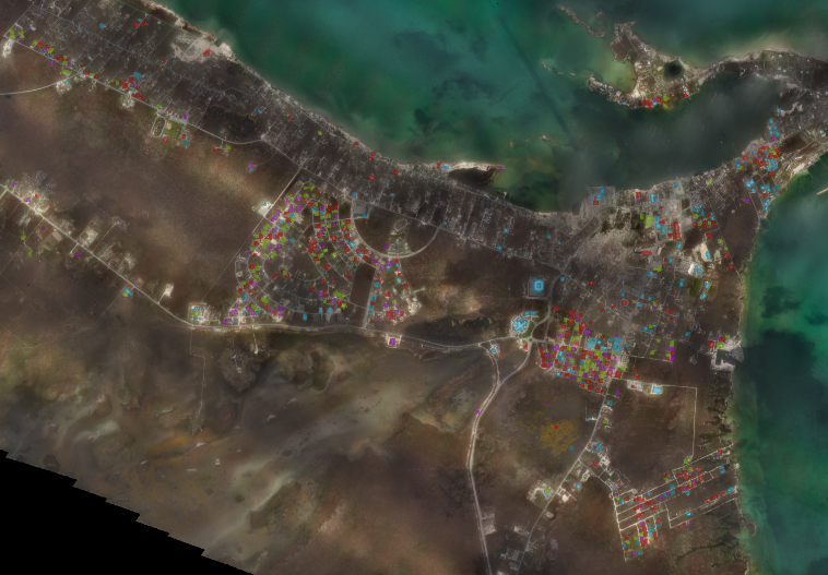
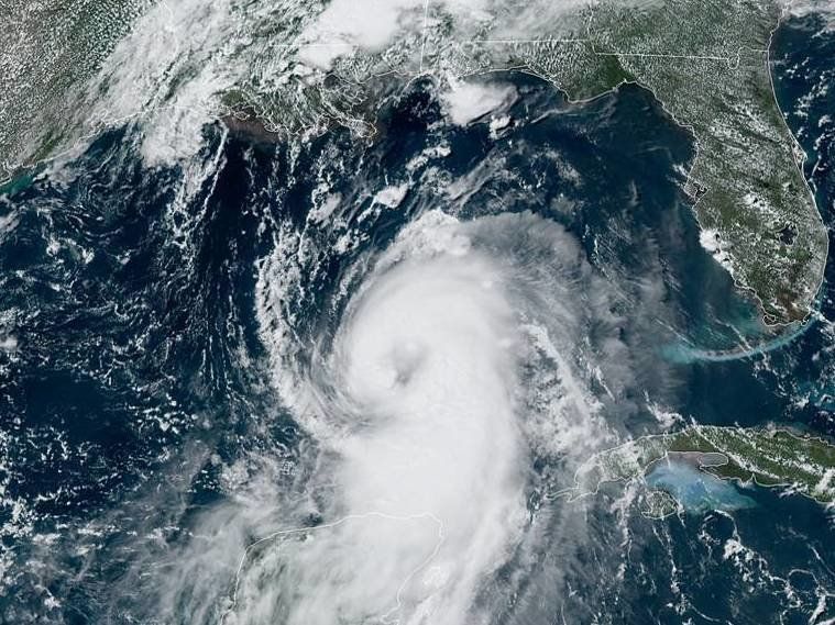
Hurricane Laura was one of the most powerful storms to strike the U.S. in quite a long time. As we've done for natural disasters in the past, CrowdAI used our custom-built building damage model on NOAA's Emergency Response Imagery to create a dataset to help assess the damage from the storm.
Click here to download CrowdAI's Hurricane Laura building damage dataset.
About the Data
The dataset was generated by a CrowdAI multi-class segmentation model. The model labels built, "habitable" structures that people would reasonably enter and exit, while attempting to ignore other "non-habitable" structures (e.g. oil storage tanks). In this part of Louisiana, there is a lot of energy infrastructure that the model has not been exposed to during training, so there are false positives expected within that domain.
The data is entirely machine-labeled and has not been manually corrected or curated.
Definitions / Ontology
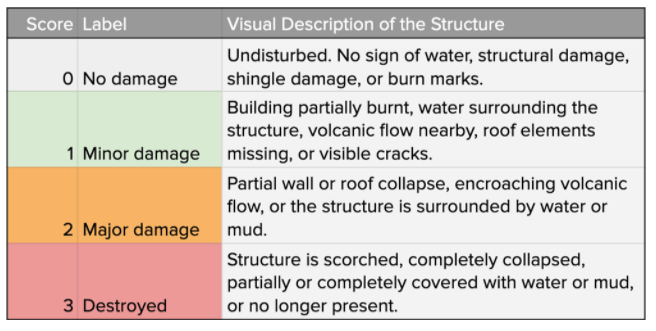
This dataset uses the building damage ontology we developed for the xView2 challenge in 2019 (in partnership with Carnegie Mellon University Software Engineering Institute and DIU). This model has intentionally not been exposed to wildfire or volcanic damage, and thus ignores burn marks, scorching, and volcanic flow when assessing damage.
Filetype
The dataset is available as a geoJSON file, with each identified building marked with a pinpoint with the damage class as associated metadata.
Example pinpoint:
{"feature_type": "building", "shape_type": "polygon", "subtype": "no-damage"}, "geometry": {"type": "Point", "coordinates": [-89.3953840516882, 29.322183239717358]}}
Use of Data
Everyone is welcome to download and use this data under the following Creative Commons license.

This work is licensed under a Creative Commons Attribution-NonCommercial-ShareAlike 4.0 International License.